
Four Peaks Road Trip
|
In late December, a winter storm dropped a load of snow on Arizona. Snow still remained on the north slopes of Four Peaks two weeks later. On January 13, I drove up the Soldier Camp Trail through Brushy Basin up to the Pigeon Spring Road on the top of the ridge and then descended down the el Oso Road into the Tonto Basin above Roosevelt Lake.
See the locations where I took pictures on my Four Peaks Road Trip on January 13, 2011 in Google Earth.
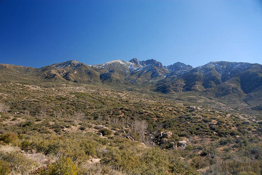 Brushy Basin and Four Peaks along the Soldier Camp Trail
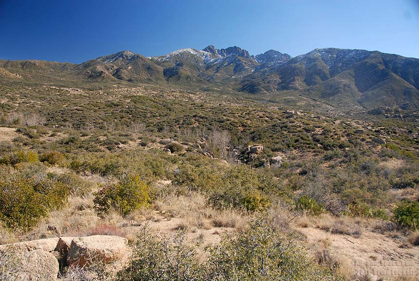 Brushy Basin and Four Peaks
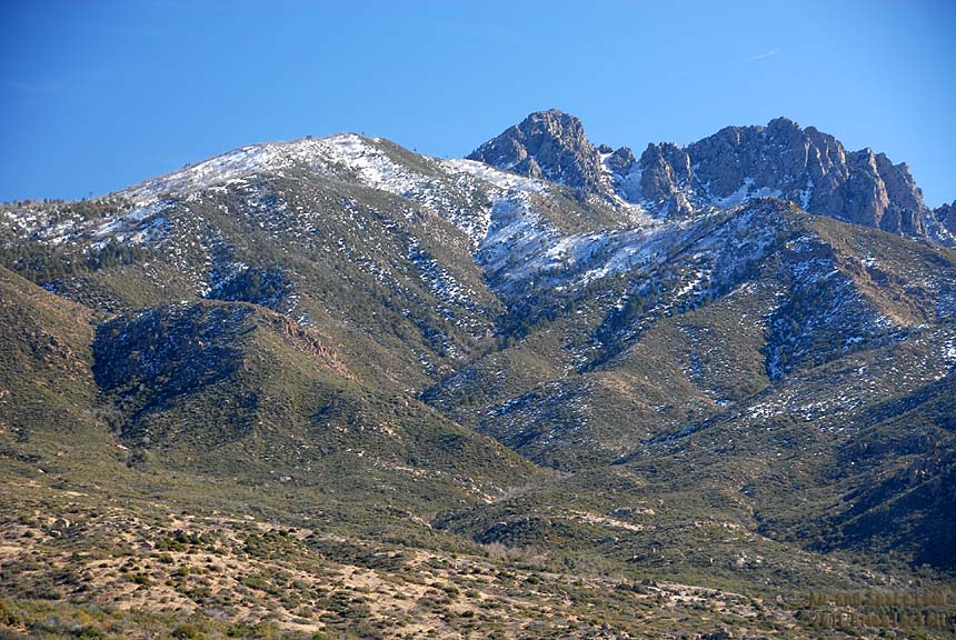 Browns Peak is the most prominent of the Four Peaks.